


About Arch Aerial Drone ServicesDelivering high quality data via drone since 2012
Arch Aerial is a drone services company dedicated to helping construction and oil and gas companies capture the most of their world.
Arch Aerial was founded by Ryan Baker in 2012 after returning from a field season at the Poggio Civitate Archaeological Project, chasing the idea of incorporating low-cost aerial data from drones for universities on research projects. That’s where we get our name: ‘Arch’ recognizing our genesis in archaeology, and ‘Aerial‘ from that new perspective from above.
Mission
We’re on a mission to help energy and construction companies capture the most of their world.
Our StoryA History Of Our Company
Our Start
Arch Aerial was founded by Ryan Baker in 2012 after returning from a field season at the Poggio Civitate Archaeological Project, chasing the idea of incorporating low-cost aerial data from drones for universities on research projects.
Testing & Prototyping
In 2013, the team designed and tested both compact and heavy-lift multi-rotor systems, eventually patenting two of the designs. We executed field trials at three different archaeological excavations (one in Belize, and two in Italy).
Hardware Go-To-Market
In 2014, the team began production, selling hardware kits to university programs across the USA, with options for training prior to deployment. Our kits were mainly utilized by graduate students, professors, and research institutions.
Section 333 Exemption & Pivot To Services Model
Arch Aerial receives its Section 333 Exemption from the FAA, and makes a pivot to a services model. Moving forward, Arch Aerial operated enterprise hardware delivering data that was useful to its customers.
A Refined Focus
Arch Aerial refined it's service model to a focus only geared towards the energy and construction sectors. This focus would eventually contribute to the growth to the present day, with a deep well of expertise in fewer verticals.
Dallas Field Office Opens
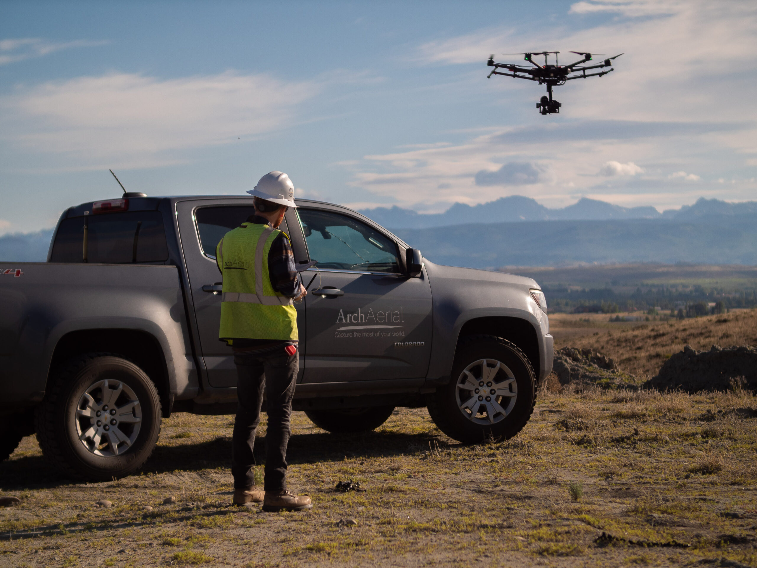
Arch Aerial expands its footprint to include a Dallas / Ft. Worth regional office located in Plano. From this region, Arch Aerial is able to execute hundreds of construction site visits and energy asset patrols on a monthly basis.
West Texas Field Office Opens
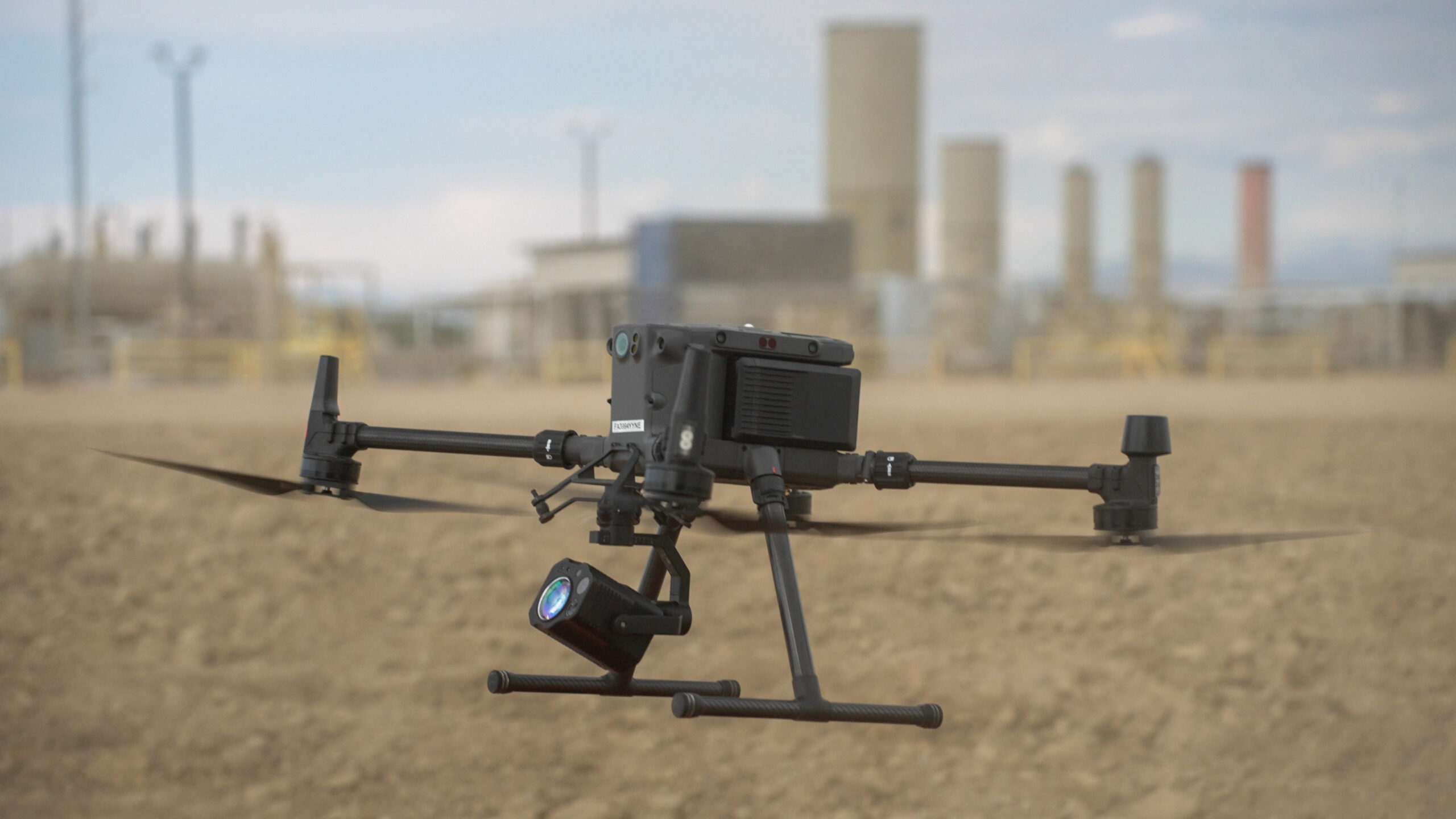
Arch Aerial expands its footprint to include a Permian & Delaware basin regional office located in Kermit, TX. From this region, Arch Aerial is able to execute aerial visible spectrum and hyper-spectral patrols of energy assets for monitoring and leak detection.
BVLOS Waiver
Arch Aerial receives its first Beyond Visual Line of Sight (BVLOS) waiver from the Federal Aviation Administration (FAA) for three different aircraft. These BVLOS capabilities will contribute to substantial growth in long-haul linear asset monitoring for the firm.