Let us capture the most of your world.3D Modeling for Commercial & Industrial Construction
Detailed, Accurate Site Models to Power Smarter Construction Decisions
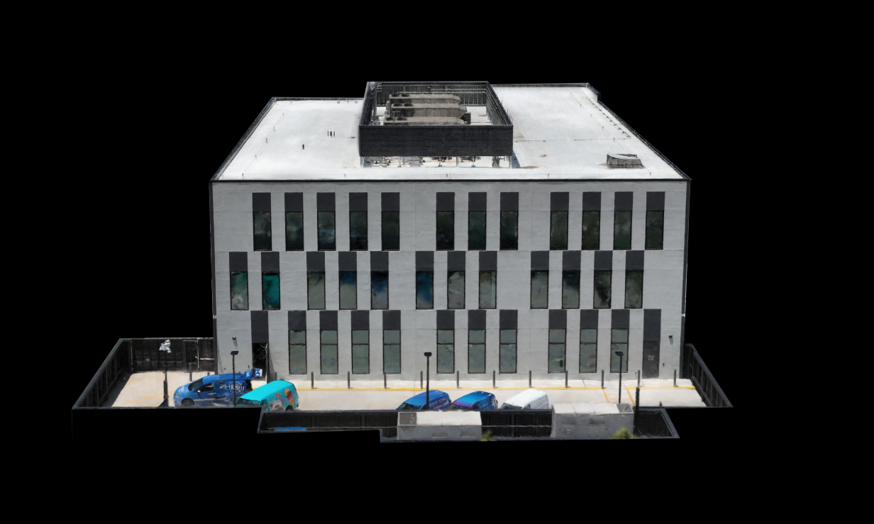
At Arch Aerial LLC, we provide drone-based 3D modeling services for commercial and industrial general contractors—transforming aerial imagery into detailed, data-rich models. Our 3D site models help project teams visualize conditions, verify measurements, and plan more effectively throughout all phases of construction.
Drone-Captured 3D Models for Job Site Intelligence
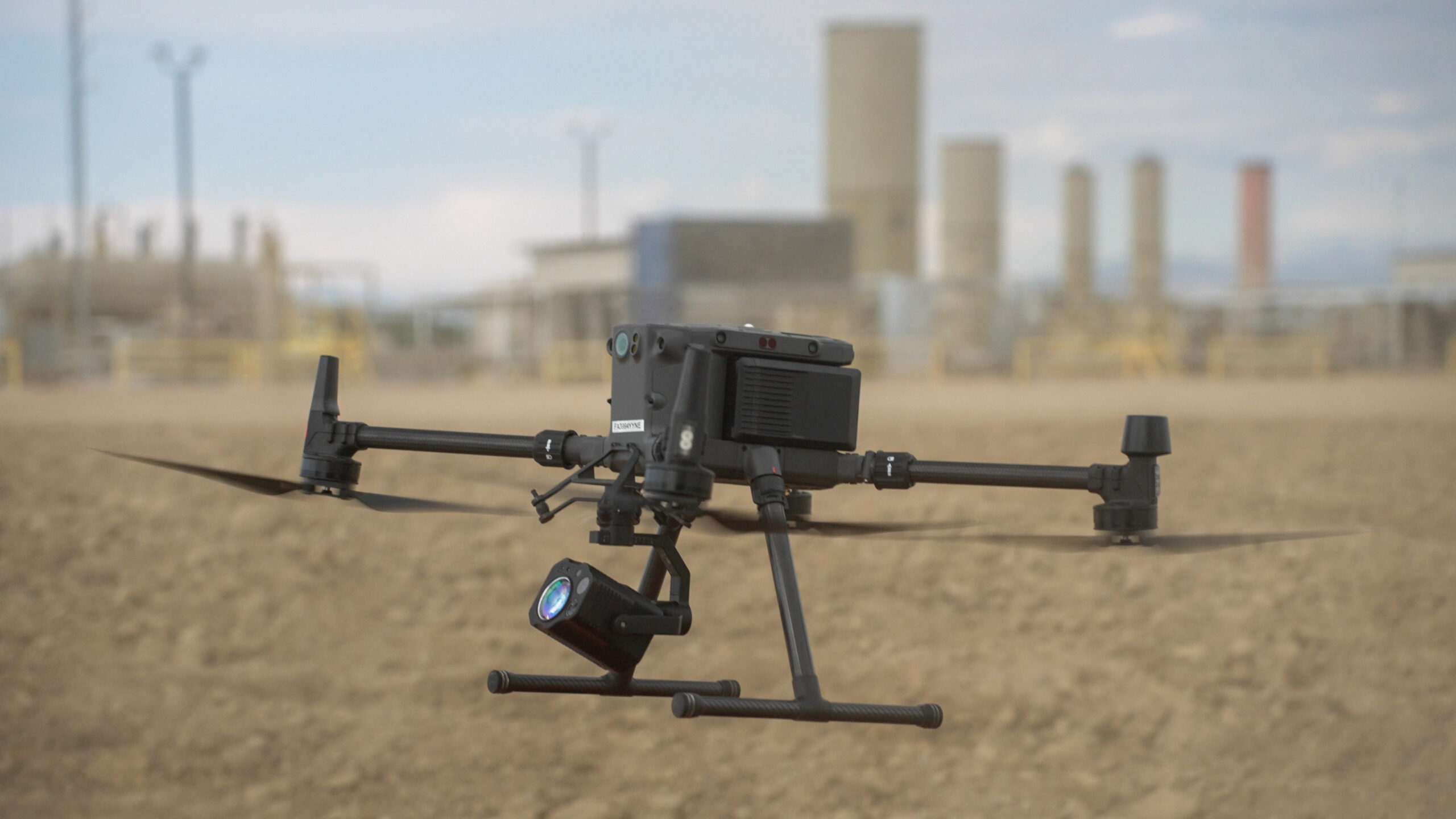
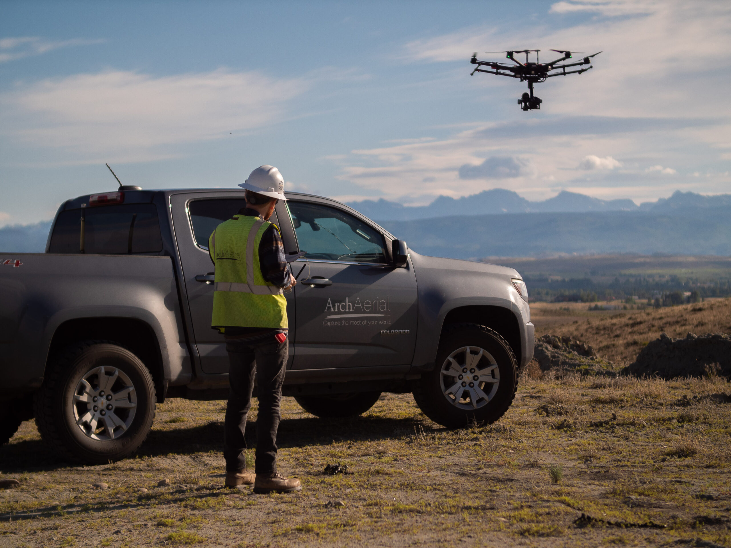
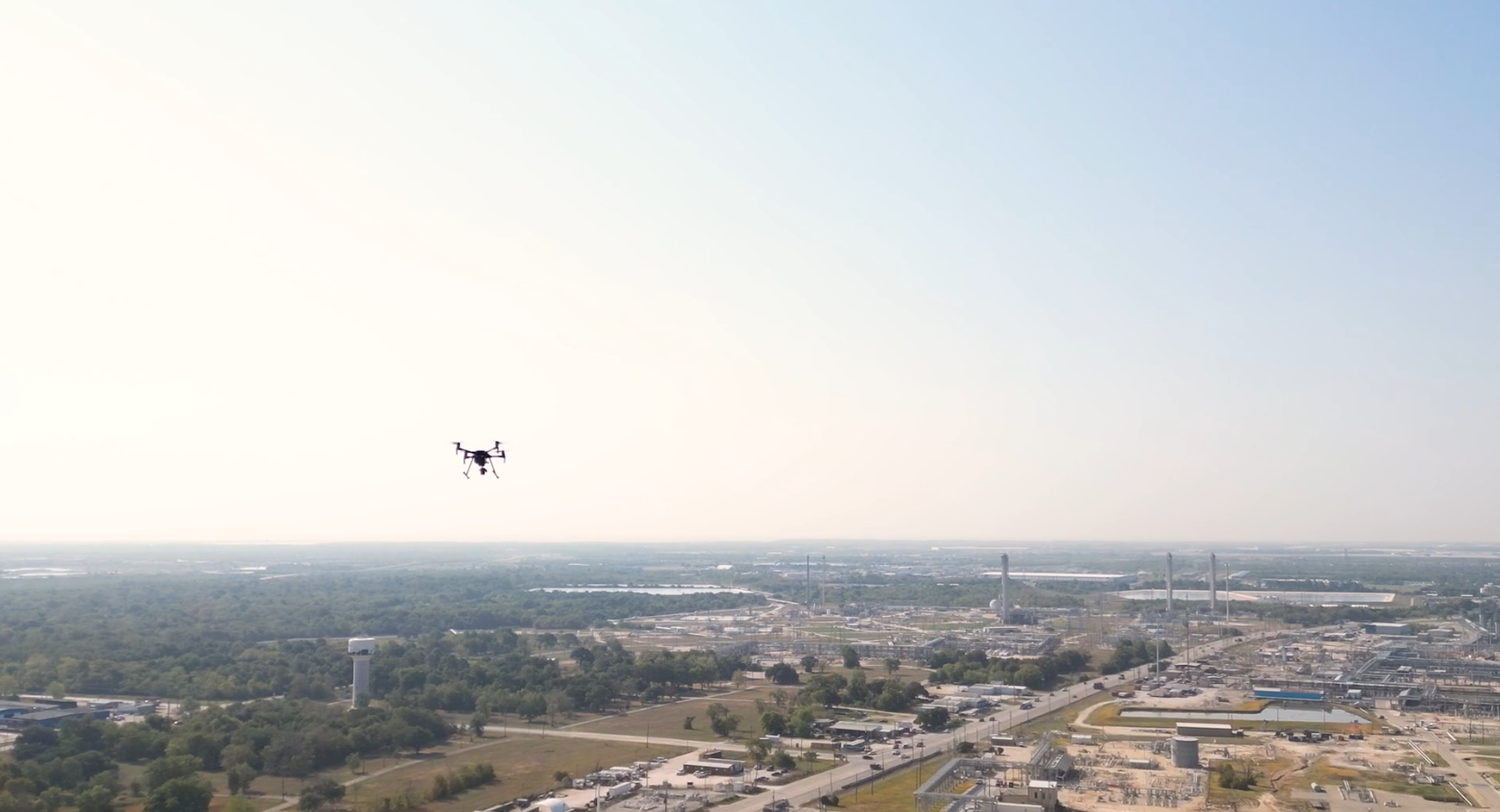
Using FAA-certified drone pilots and industry-standard photogrammetry software, we generate high-resolution 3D models that provide a realistic, measurable view of your site. Key 3D modeling applications include:
Preconstruction visualization and site planning
Progress tracking with temporal model comparisons
As-built documentation and verification
Earthwork and grading validation
Clash detection with BIM coordination
Stakeholder and client presentations
Why Choose Arch Aerial for 3D Modeling?
GC-Focused Deliverables – Our models are built to serve the real needs of commercial and industrial contractors. Accurate & Scalable – From small commercial lots to expansive industrial campuses, we deliver precise models regardless of project size. Integrates with Your Tools – Export-ready formats compatible with BIM, CAD, GIS, and other project platforms. Visual & Analytical Value – Combine visual clarity with actionable spatial data for smarter decision-making.
See Your Site in 3D – Before It’s Built
Our drone-generated 3D models are more than just visuals—they’re tools for communication, coordination, and confidence. Whether used for estimating, stakeholder buy-in, or construction verification, Arch Aerial LLC gives you a new dimension of insight.
Ready to Visualize Your Site in 3D?
Streamline your planning and enhance your project oversight with 3D modeling services from Arch Aerial LLC. Contact us today to schedule a flight and discover how aerial 3D models can support your next construction project.