Data built to make a difference.Drone-based high resolution aerial mapping of facilities.
Get the detail that satellite and manned aircraft can’t provide.
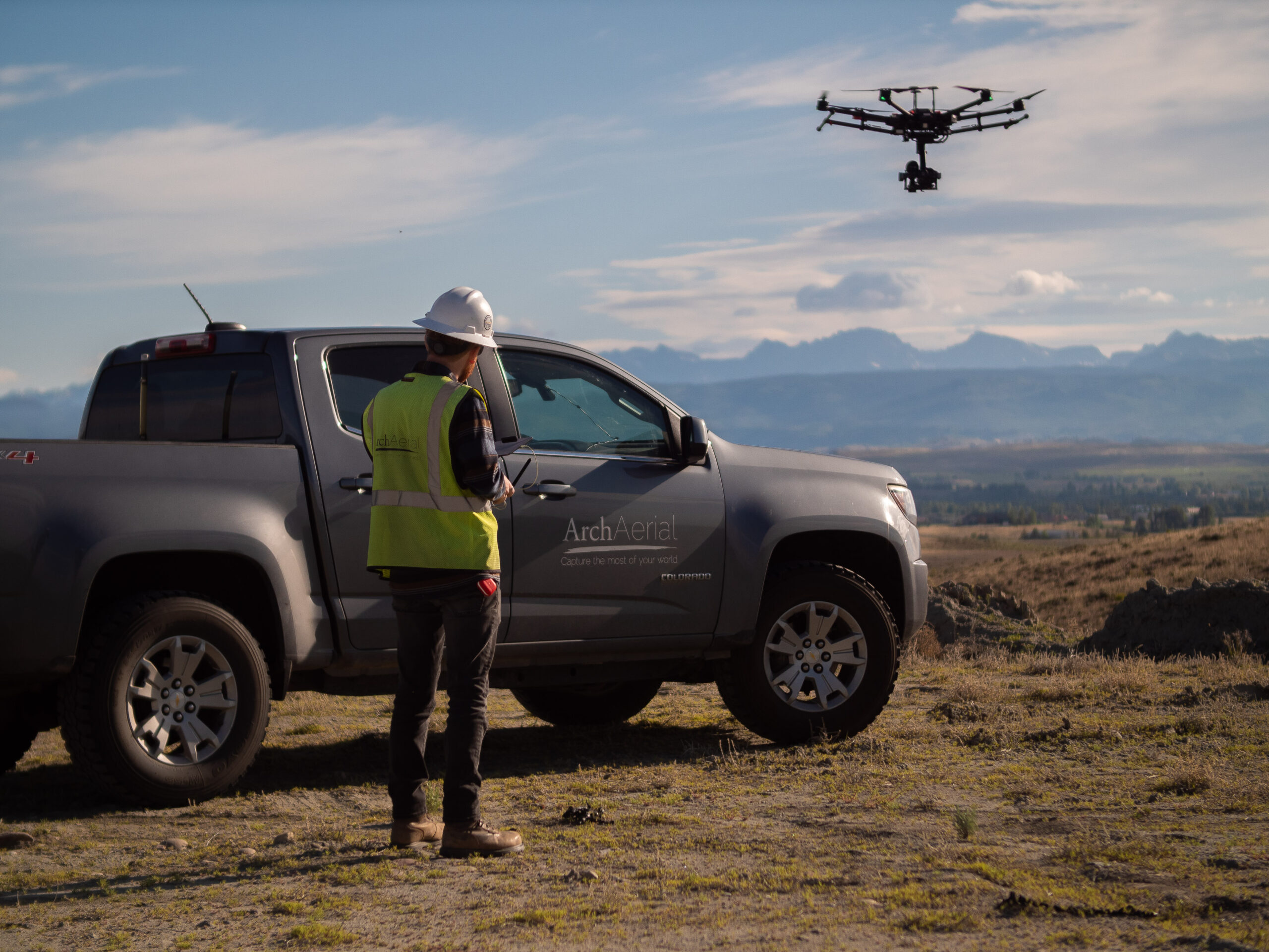
Arch Aerial LLC provides advanced aerial mapping and data solutions tailored to the needs of midstream oil and gas facilities, including compressor stations, metering sites, storage terminals, and pump stations. Our drone-based services deliver accurate, actionable data to support design, construction, operations, and asset integrity management.
Stations
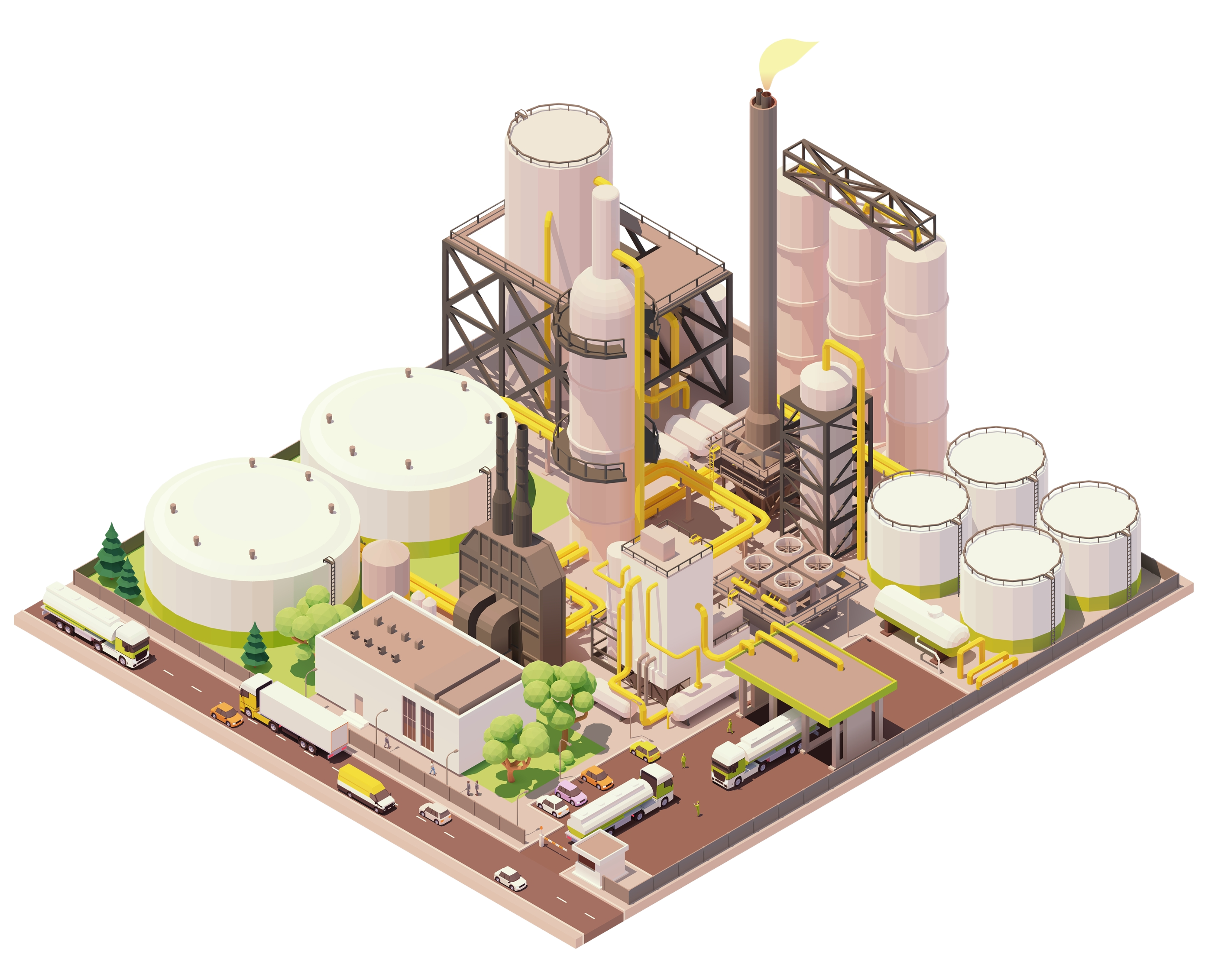
Plants & Facilities
Enhance Facility Operations with UAV Mapping
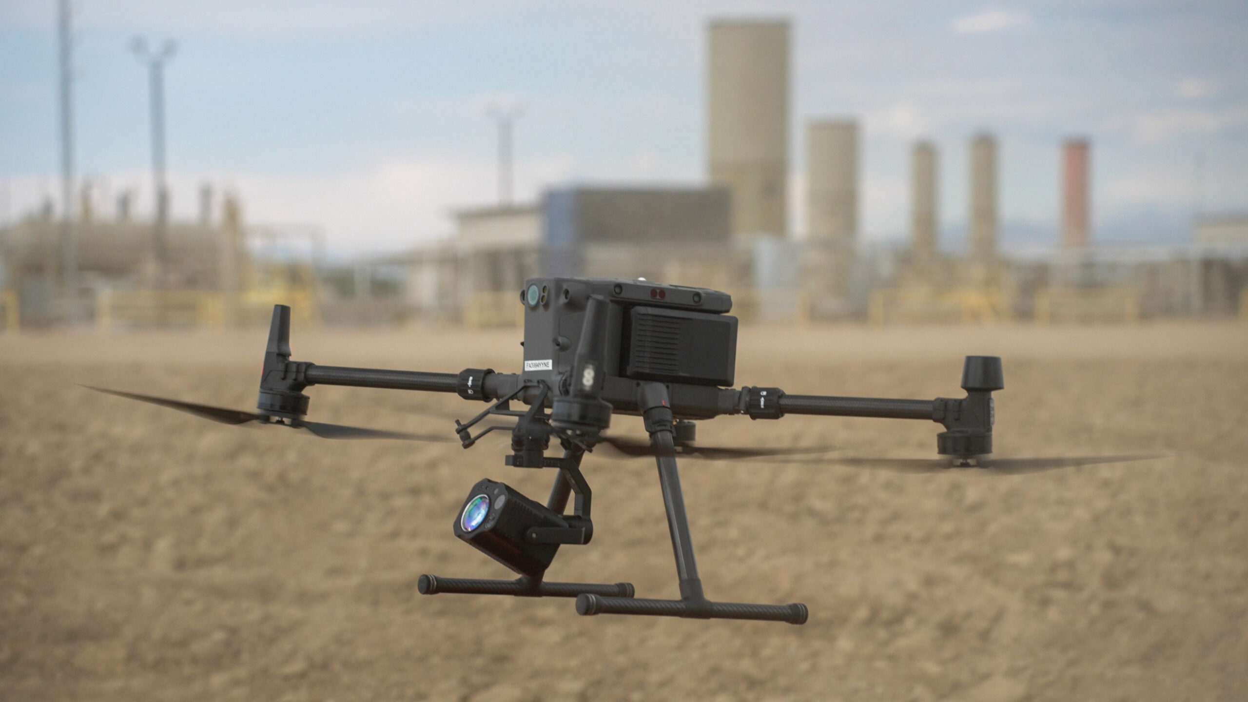
Using RTK-enabled drones, LiDAR, photogrammetry, and thermal imaging, we capture precise geospatial data to optimize the planning and performance of oil and gas infrastructure. Our aerial mapping services help you:
Create accurate as-built documentation
Monitor construction progress and site development
Support facility design and expansion projects
Identify structural or equipment anomalies
Integrate with GIS and asset management platforms
Comply with environmental and safety regulations
Aerial Mapping Across the Facility Lifecycle
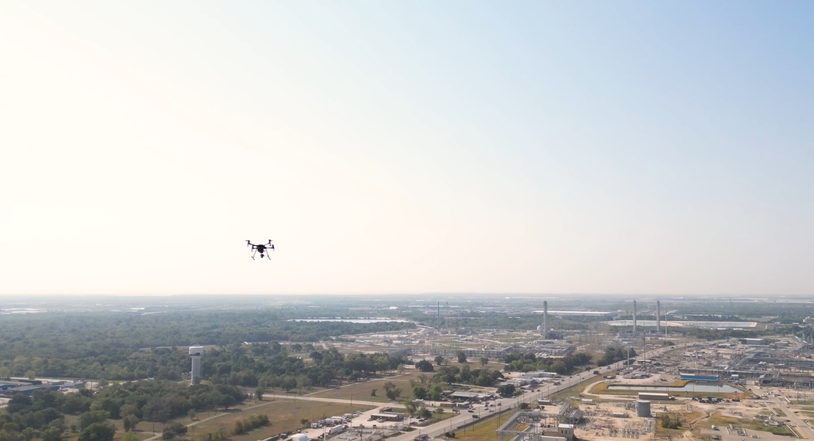
From site selection and grading through final commissioning and ongoing inspections, Arch Aerial LLC delivers aerial data solutions that support every phase of facility operations. Our drones provide cost-effective visibility into assets that are difficult or dangerous to access from the ground.
Why Midstream Operators Trust Arch Aerial
Industry-Focused Expertise – We know the operational and safety requirements of midstream oil and gas facilities.
High-Accuracy Deliverables – Our aerial data products support engineering-grade analysis and documentation.
Faster Project Timelines – Reduce field time and accelerate your project schedules with rapid data acquisition.
Safe and Scalable Deployment – Avoid ground-based hazards with drone inspections and scale services across multiple sites.
Request a Quote or Schedule a Consultation
Take control of your midstream facility data with professional aerial mapping and drone surveying by Arch Aerial LLC. Contact us today to learn how we can help optimize your oil and gas facility operations with precision aerial insights.
High resolution mapping for every station on your pipeline.
Get easy to use assets for your operations team, enabling quick reference without the need for boots on the ground.