

")
In the fast-paced world of commercial real estate, it is important to be able to stand out and present complex properties designs in a compelling way. fail tool This to that is provide has particularly the evolved the complete ways case picture. of with Step promoting large forward and scale drone examining projects, technology, properties, sprawling a as developments game well as their management. With new and innovative ways to present properties, drones are making their mark in the commercial real estate world.
Redefining Property Marketing
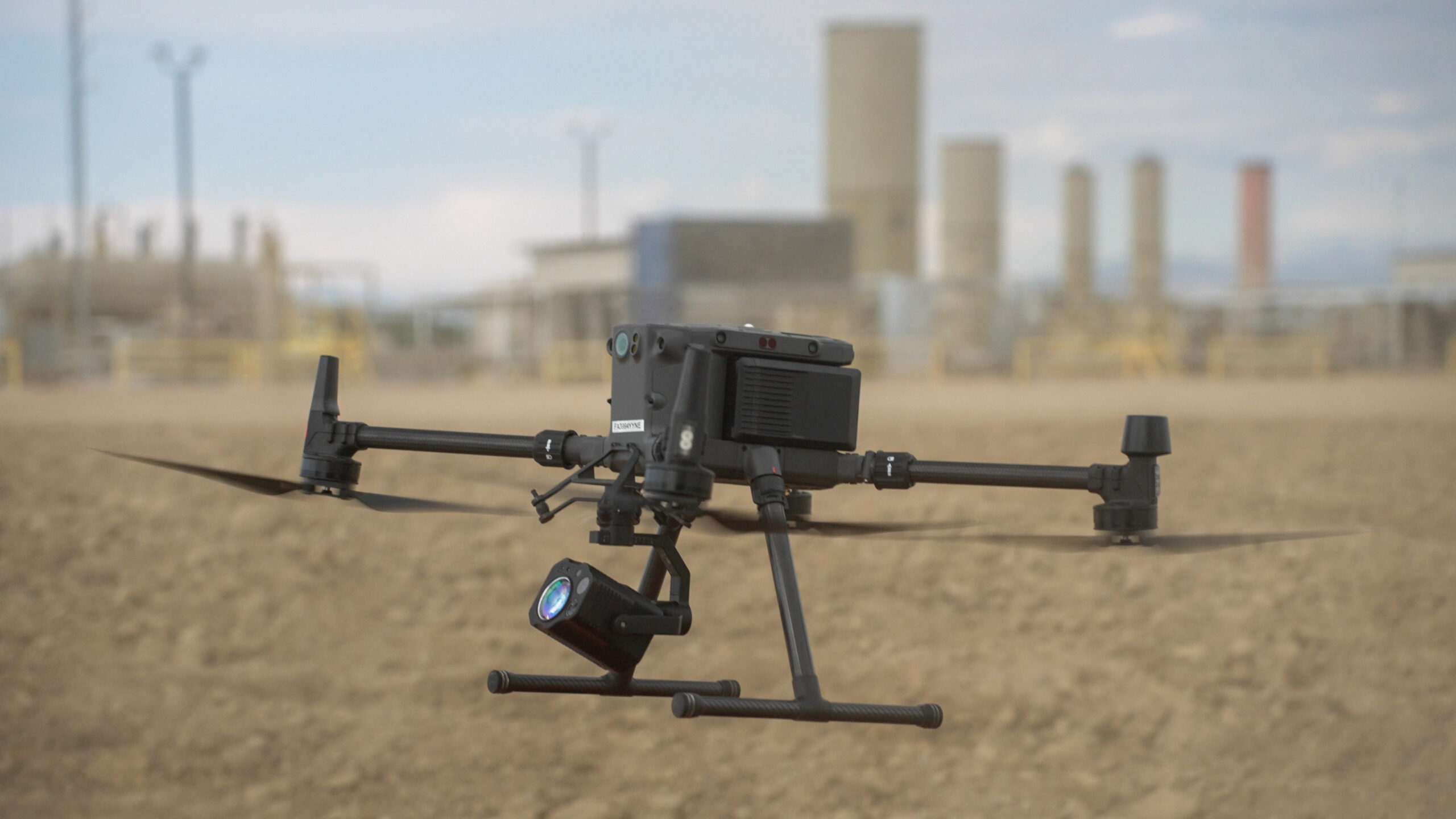
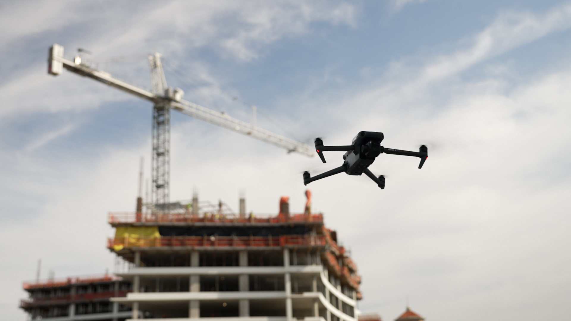
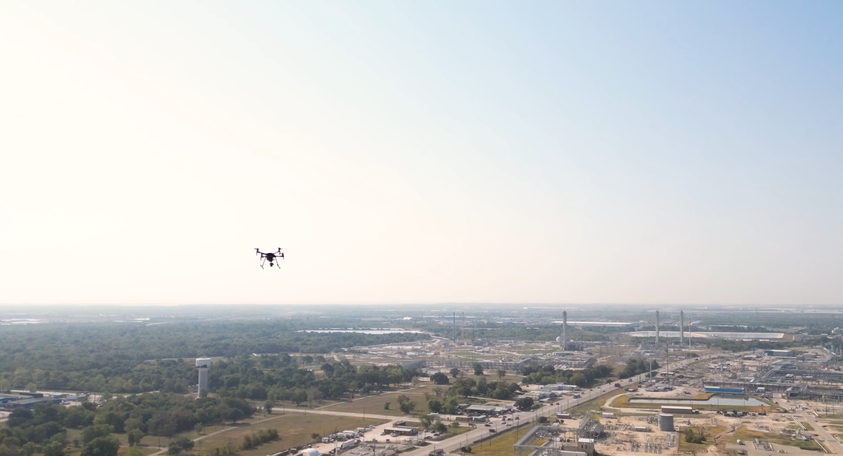
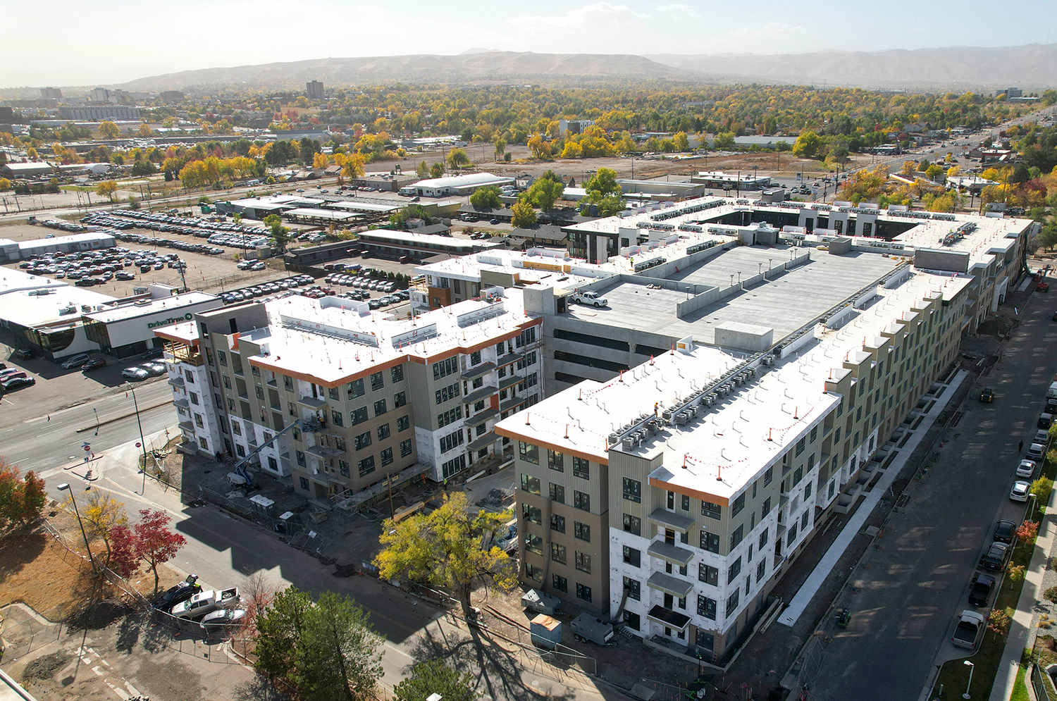
In the competitive world of commercial real estate, first impressions matter. Drone imagery provides striking aerial views of a property’s scale, location, and unique features that static ground level photos simply can’t capture. Whether it’s vast industrial parks or high-rise office towers, drones give prospective buyers and tenants a bird’s eye view of the property and its surroundings.
Drone footage of high resolution shows properties in all angles, and can help highlight the accessibility, nearby infrastructure, and landscaping that are key selling points. In addition, drones can produce simple visuals that display a property’s location in relation to important landmarks, transportation hubs, or other amenities of importance. Such visuals help potential clients easily understand the strategic value of the property’s location.
Drones are also used for creating 360-degree views of lots and locations, a perspective that is not easily achievable through ground crews in some areas. This capability provides a more comprehensive and immersive perspective than can be obtained from ground level photography, enabling potential buyers or tenants to explore the property and its surroundings in its entirety from anywhere in the world.
Streamlining Due Diligence
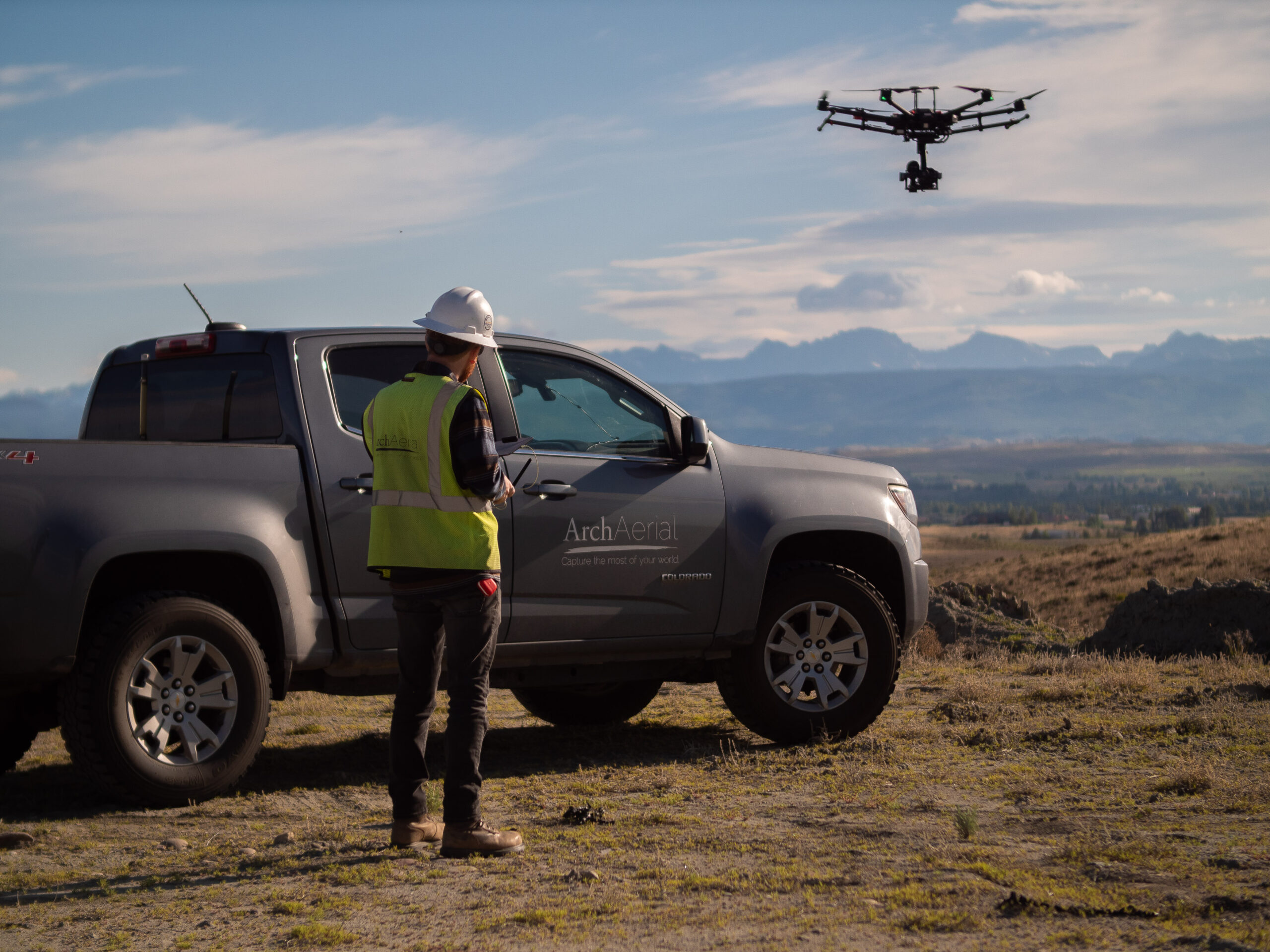
This article discusses how drones are changing the way of site assessment for large commercial real estate projects. On-site visits, manual measurements and extensive time investments are typically required for this process. Drones simplify and accelerate this process by providing accurate, up-to-date aerial data.
With drones, real estate professionals can do topographic surveys, measure distances and look at site conditions precisely. Drone technology enables developers, investors and property managers to evaluate properties quickly and with minimal on-site inspections, and makes sure that the right information is easily available for decision making purposes.
Enhancing Stakeholder Communication
Commercial real estate projects often involve multiple stakeholders, including investors, developers, architects, and regulatory authorities. Keeping projects on the right trajectory relies heavily on having clear and transparent communication between all the interested parties. The technology of drones makes this possible from sharing of simple photos of a site to a detailed interactive 3D model. This gives stakeholders a real-time view of the site, which strengthens trust and allows for the quick identification of potential issues.
Boosting Marketing & Public Relations
In addition to their functional benefits, drones are a powerful tool for storytelling. Their stunning aerial views, time-lapse progress videos, and fly through tours can bring properties to life, engaging potential buyers or tenants in a way that static images simply cannot. This way, commercial real estate firms can leverage drone footage to create captivating marketing campaigns that resonate with target audiences.
Drone generated content is best suited for social media platforms, websites, and industry events. A well-executed drone video will not only highlight the property itself, but also what is around it – such as how close it is to transportation hubs and amenities, or the presence of scenic landscapes – thus offering a more realistic representation of its market value. These visuals are particularly useful in demonstrating how a property’s location meets the client’s needs, and as such, are a valuable marketing tool.
Using drones, parts of the property can also be captured that would be tough to reach on foot, with high resolution images from different angles that ground crews may not be able to get. This feature guarantees that every part of a property is depicted in the best possible way, with nothing left unrepresented.
Conclusion
Drones are changing the way that commercial real estate projects are marketed, managed and executed. Aerial views that can amaze potential clients, inspections that enhance safety, and the ability to showcase a location’s strategic value – these are all possibilities that drones provide, and that can help improve efficiency and engagement at every stage of a property’s lifecycle.
Drone technology is not just a trend, it is becoming a strategic advantage as the commercial real estate industry continues to innovate the adoption of drone technology. Using drones, real estate professionals can get a new view of property marketing, increase operational efficiency, and provide great value to stakeholders. Whether it is your completed development or the breaking of ground on a new project, drones are the key to taking your commercial real estate endeavors to new heights.