
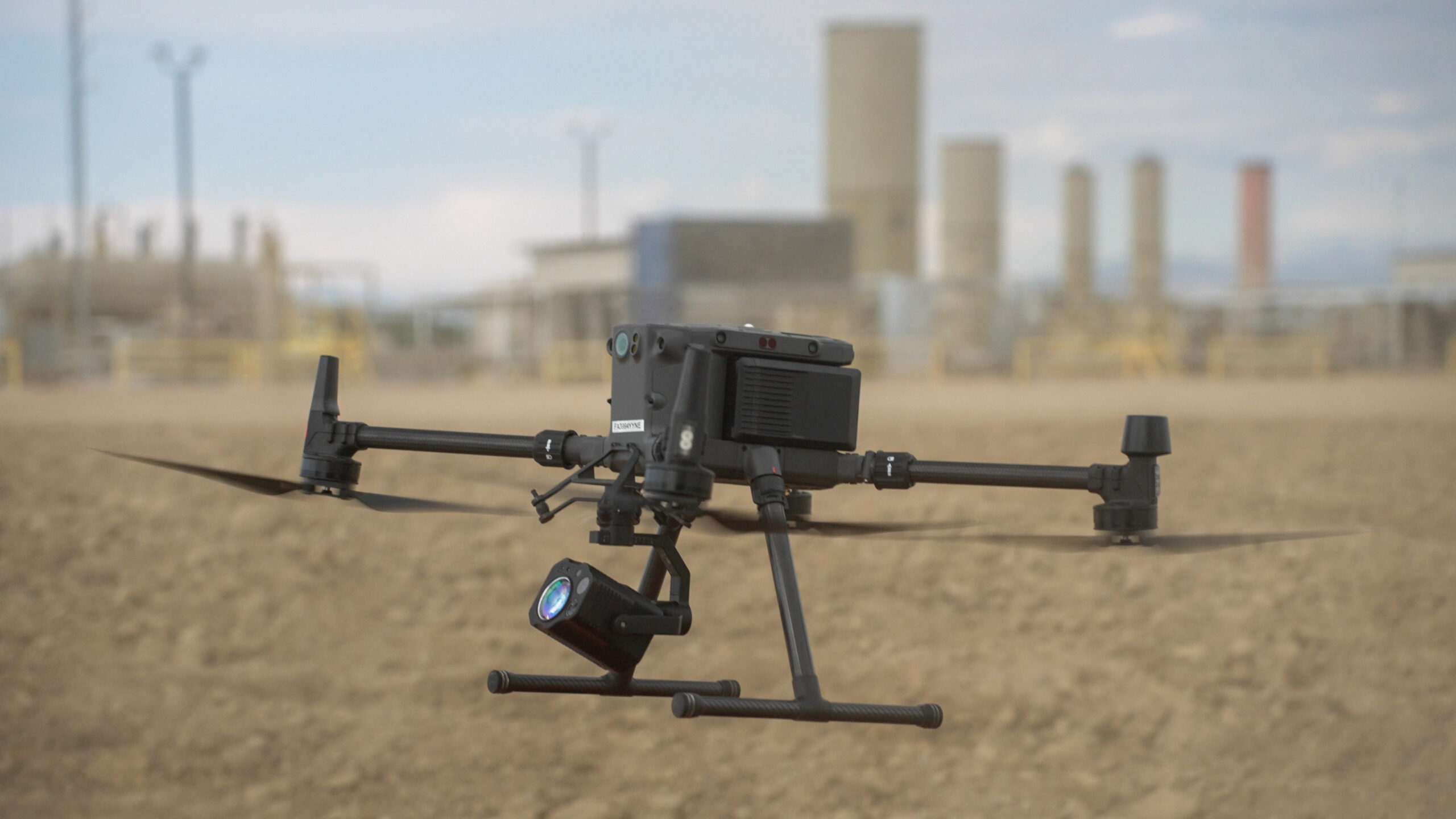
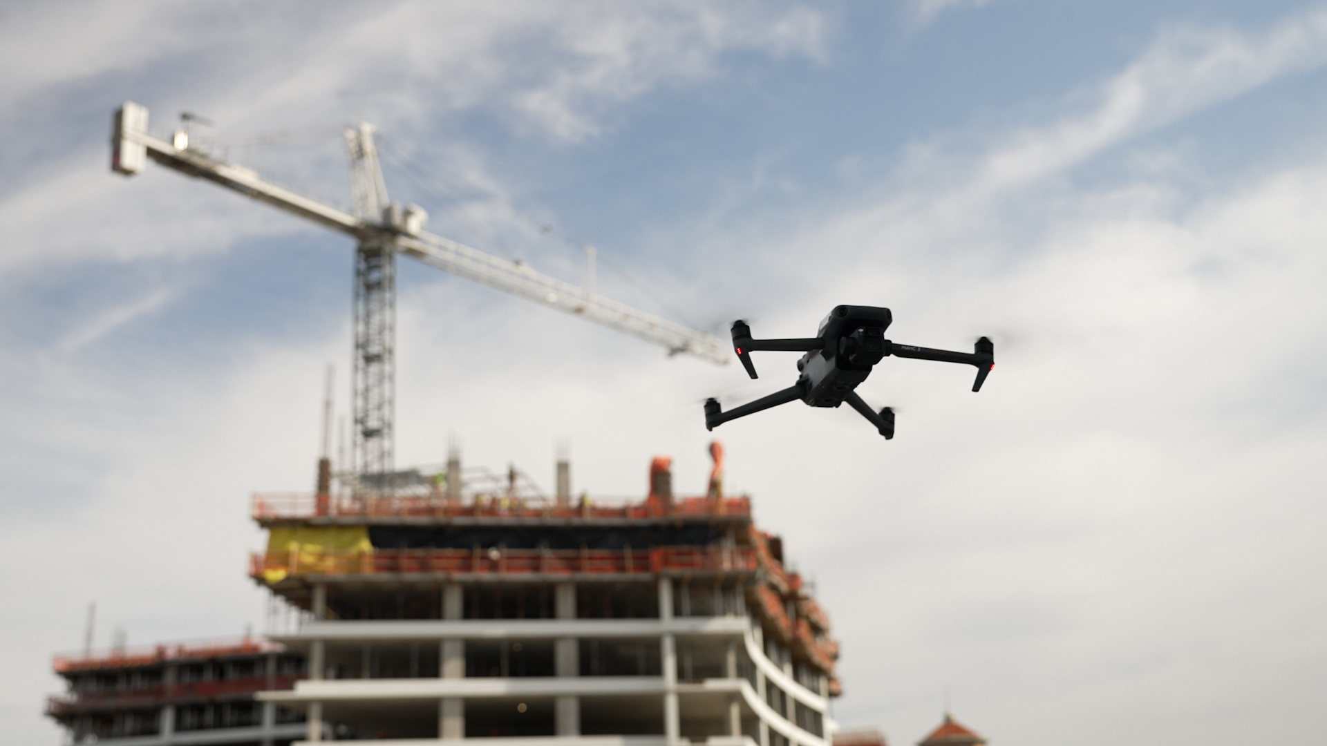
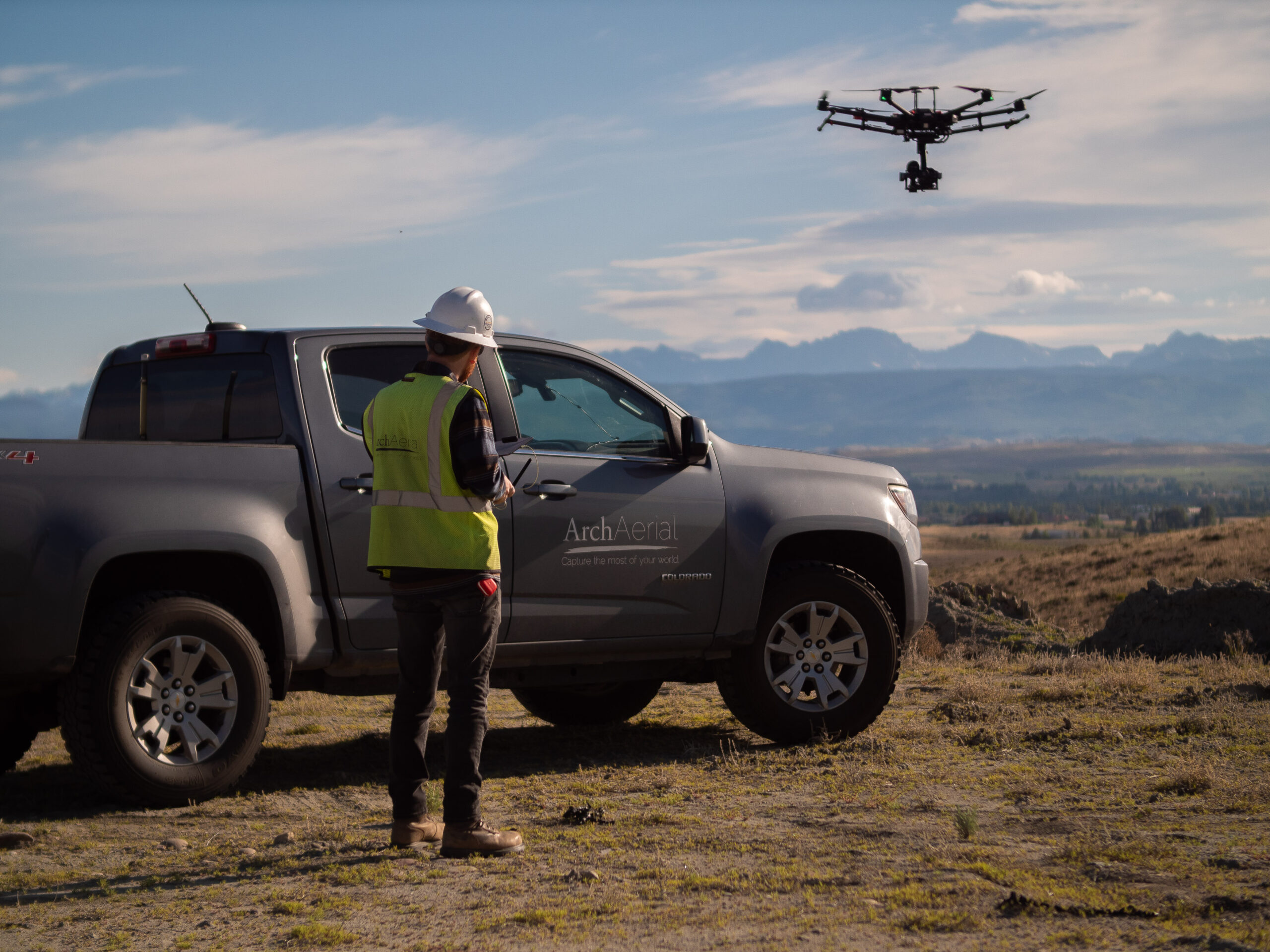
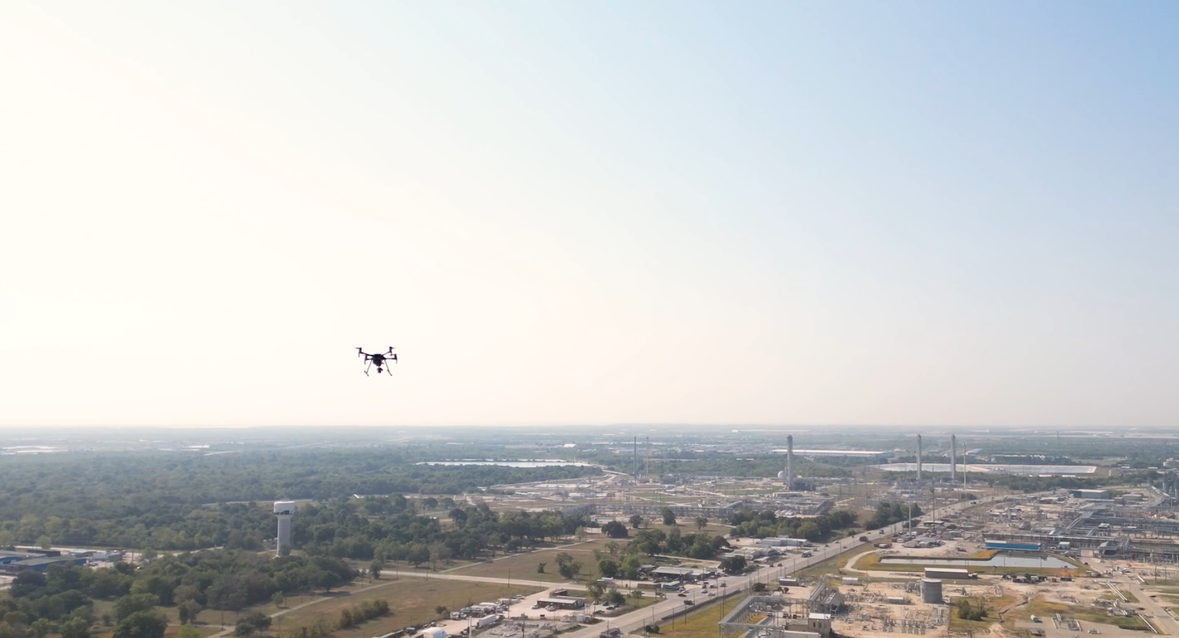


The construction industry has always been dependent on precision and accurate data to guarantee that projects are completed on time, within budget, and to the highest standards. This has become apparent as projects have become more complex and there is a clear need for advanced technology to enhance efficiency and accuracy. A tool that has become extremely useful is 3D design technology, such as LiDAR (Light Detection and Ranging) which emits pulses of laser light from a high-powered laser used to gather measurements in real time as well as monitoring of construction progress. Drones are enabling construction teams to collect detailed project data at high resolution using LiDAR payloads. Here at Arch Aerial, we’ve successfully transformed capturing technologically difficult to reach or hazardous places with LiDAR technology, delivering highly interactive 3D models for our clients to enhance workflows, reduce risks and provide valuable information that is crucial for the successful completion of their projects.
The Power of LiDAR Technology in Construction
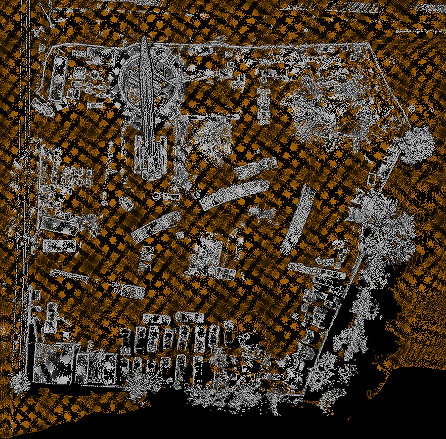
Using laser pulses to measure distances to the Earth’s surface, LiDAR technology, when combined with drone technology, can quickly and accurately map large areas. Because of this, drones equipped with LiDAR payloads can collect a vast amount of data in a matter of hours, and with high accuracy. Because of its capability to gather 3D data, construction teams can visualize the terrain, identify potential issues, and make data driven decisions that enhance the quality and safety of construction projects.
LiDAR’s precision is particularly valuable in the construction sector, where even small discrepancies can lead to delays, cost overruns, or safety hazards. By integrating LiDAR technology into construction workflows, teams can:
- Ensure Accurate Site Surveys: LiDAR offers precise and detailed topographic maps that are vital for planning and design. These maps can be used by construction teams to understand the lay of the land, changes in elevation and other key features of the site which reduces the chances of errors during construction.
- Monitor Ground Movement and Stability: Construction sites are prone to excavation and other activities that can cause the land to shift or become unstable if not monitored properly. This makes LiDAR useful for real time monitoring of changes such as those caused by the shifting of soil or terrain that could affect the stability of the foundation.
- Track Construction Progress: Equipped with LiDAR, drones can frequently fly over construction sites, gathering precise data generating and 3D models that can be matched against project plans. This way, stakeholders get a real time view of the progress of the project and where exactly there might be some discrepancies from the planned version.
- Conduct 3D Modeling and Visualization: LiDAR data can be employed to develop accurate 3D models of construction sites and intended structures. They offer a realistic and scalable view of the project, and can be applied for design, stakeholder presentations and monitoring purposes.
- Improve Safety: As LiDAR equipped drones can reach areas that are tough to reach or hazardous, they reduce the need for people to venture into potentially dangerous environments. This assists in ensuring the safety of construction personnel, especially in the context of challenging or high-risk projects.
Additional Uses of LiDAR in Construction
LiDAR technology has a variety of usage in the construction sector, and beyond ground shifting, here are just a few of the many applications:
- Site Planning and Design: LiDAR allows for the creation of detailed 3D models that help engineers and architects plan projects with precision. These models are invaluable when designing structures, ensuring that plans account for existing terrain features and conditions.
- Topographical Mapping: Whether it’s for large-scale developments, road construction, or environmental projects, LiDAR can create highly accurate topographic maps, ensuring that planners have the right data to make informed decisions.
- Volume Calculations: LiDAR can be used to calculate volumes of materials, such as earthwork or stockpiles. This is especially helpful in large-scale projects where materials need to be measured or tracked for budgeting purposes.
- Inspection and Maintenance: Drones with LiDAR are also useful for inspecting existing structures, whether it’s a building, bridge, or other infrastructure. They can be used to measure structural integrity and identify areas in need of repair, which can help with ongoing maintenance and ensure the safety of the structure.
- Environmental Impact Assessments: LiDAR can be used to evaluate the environmental impact of construction projects, such as assessing vegetation loss, soil erosion, or changes in drainage patterns. This helps construction teams stay compliant with regulations and minimize the environmental footprint of their projects.
Conclusion
Integrating LiDAR technology into construction projects offers numerous benefits, from improving accuracy in site surveys to real-time monitoring of ground shifts. At Arch Aerial, we’ve seen firsthand how drones with LiDAR payloads can streamline construction workflows, prevent costly delays, and ensure the safety and success of a project.
As construction projects continue to grow in complexity, the ability to harness the power of LiDAR technology will only become more essential. LiDAR equipped drones are available for teams who want to enhance their project outcomes, mitigate risks and optimize operations in order to drive the industry forward.