
Taking Advantage of Arch Aerial’s Drone Photography and Videography
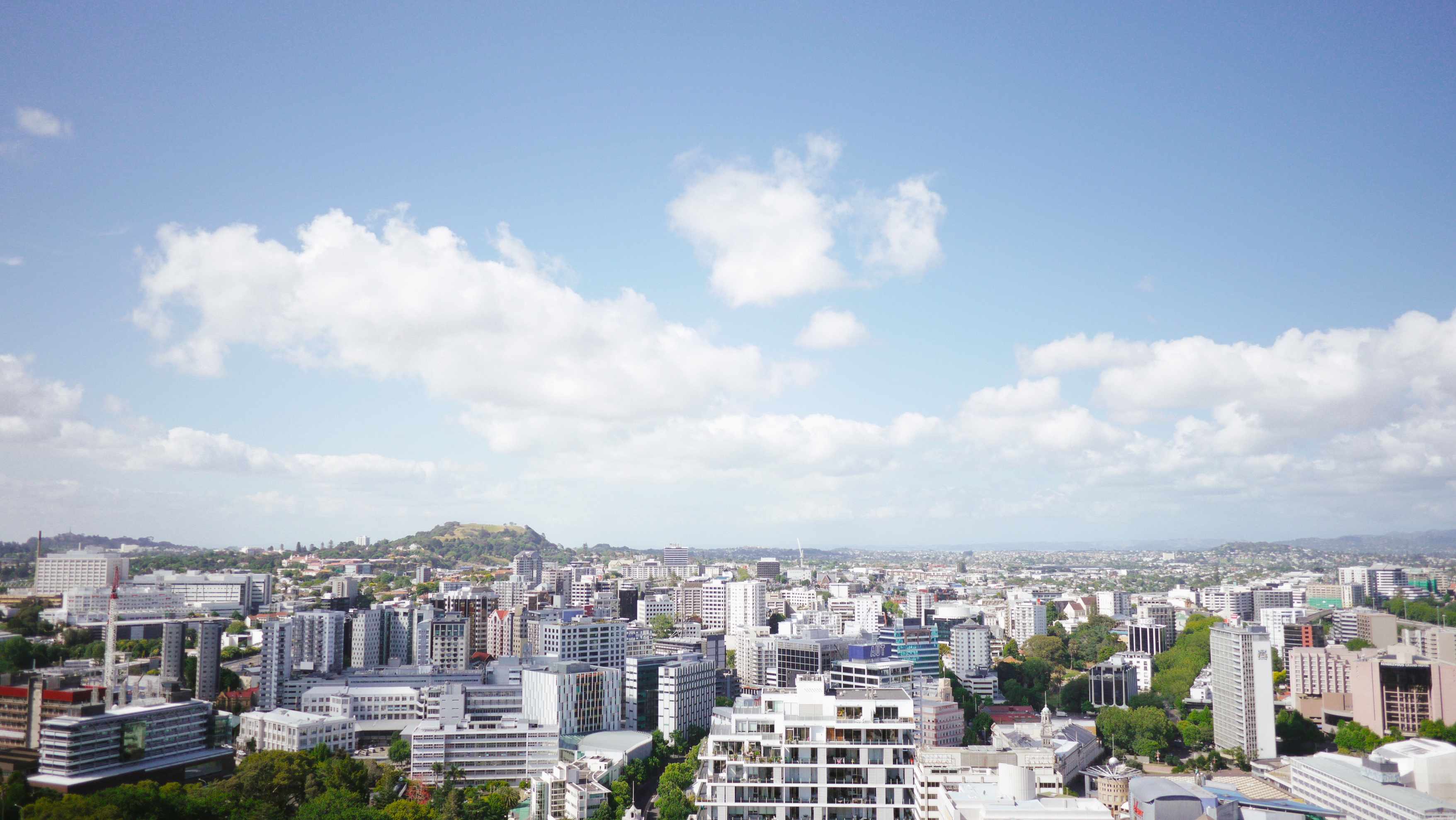
When developing a new piece of real estate, the first thing everyone does is imagine what the new structure will look like once it is complete. Before drones (UAS or unmanned aerial systems) existed, it was hard to answer the question of what will it be like to look out from the tenth floor of this new building? What will I be able to see and what will be able to see me?
Arch Aerial LLC’s customers have seen great utility in capturing images and video from specific altitudes to mimic what it would be like to look out from a floor of a building that has yet to be constructed. Arch Aerial’s drone surveys are a cost-effective way to capture these valuable photos and videos from desired angles and altitudes. Our customers can now not only represent what the future development will look like, but can be pair investment and stakeholder presentations and deliverables with the photos and videos captured by our drone surveys.
If you are interested in learning more about Arch Aerial’s drone surveying services please do not hesitate to reach out by visiting our Contact Us page, email (sales@archaerial.com), or simply giving us a call (281-974-5752). Our operations staff is fully certified by the FAA, our data is processed in-house, and we are fully insured.