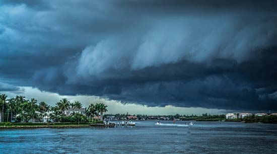
The employees at Arch Aerial would like to express our desire for the speedy recovery of those affected by the recent Hurricane Matthew.
After a tropical storm, UAS (unmanned aerial systems), or more commonly referred to as drones, can be a very powerful tool for surveying damaged areas. Drones do not have to trudge through the possible damage and hazards that are caused by these storms, but instead can fly overhead and collect data of particular areas of interest. Whether there is a need to map square miles of land, inspect areas with thermal/infrared sensors, or capture video and photos of particular points of interest, Arch Aerial LLC’s UAS surveying services offer a cost effective solution that can benefit insurance companies as well as general businesses. Arch Aerial’s solutions allow our customer’s to take advantage of Arch Aerial’s experienced operations staff that operate the UAS, our scalable data processing infrastructure, and of course the actionable data that we deliver.
Once again, we would like to express our interest in everyone’s safety that endured the recent Hurricane Matthew. Please feel free to reach out (281.974.5752) if there is any need for our services. Stay safe out there.